


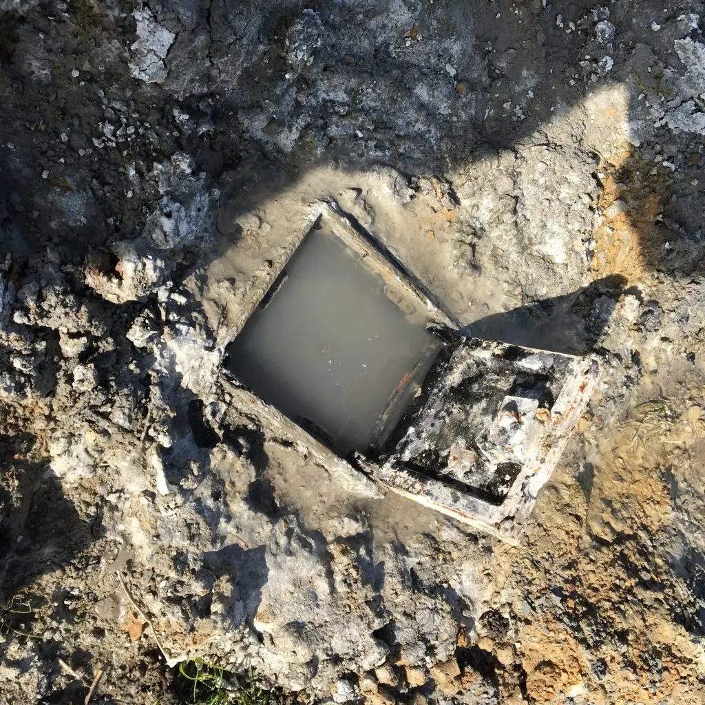
It is estimated that at least 32,000 naturally occurring holes / cavitites and over 15,000 non-coal mines or pits are located around the UK mainland. Natural or man-made cavities caused by historic mining activities or subsidence pose a geotechnical, environmental and hydrogeological risk to existing and proposed development. The assessment of these potential features begins at the Phase I / Desk Study stage, and must often be investigated on-site through the techniques described above.